Route 7 - Gerbe Church

Category: Strenuous
Distance: 15.0 km
Time: 6.0 hours

Downloads:

Gerbe Church (GPX) Gerbe Church (KML) Gerbe Church (PDF)

Click the PDF button to download a printable (PDF) copy of the entire route. Click the GPX button to download the route in a format suitable for smartphone apps and other navigation devices. Use KML to download the route in a format suitable for use with Google Earth.

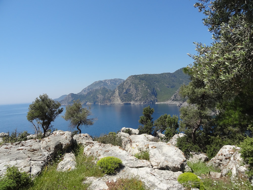
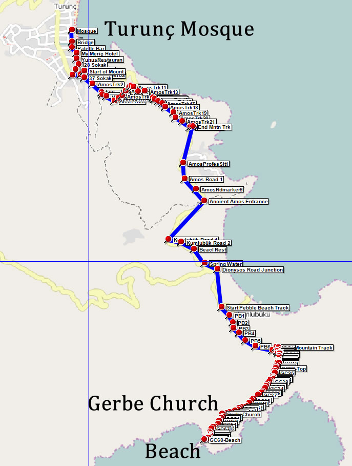
A strenuous and varied walk including mountain tracks, road, and forest paths leading to the stunning ruins of a Byzantine Church in a picturesque olive grove and optional beach/swim.

The walk takes about 6 hours, although you should allow longer on a really hot day. If you do not want to tackle the full distance you can take a taxi or dolmuş, or drive/cycle to Kumlubükü and pick up the walk from there.

The route uses a mountain track on the outgoing sections although an easier alternative follows the coast road. The mountain track is way marked and mostly very easy to follow but does include some sections over rough loose stone. The track rejoins the road near Amos and continues until the road becomes a gentle, wide track.

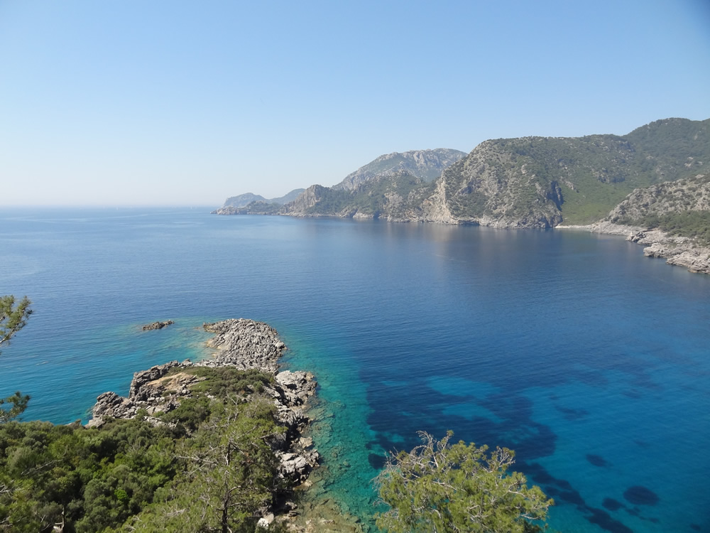
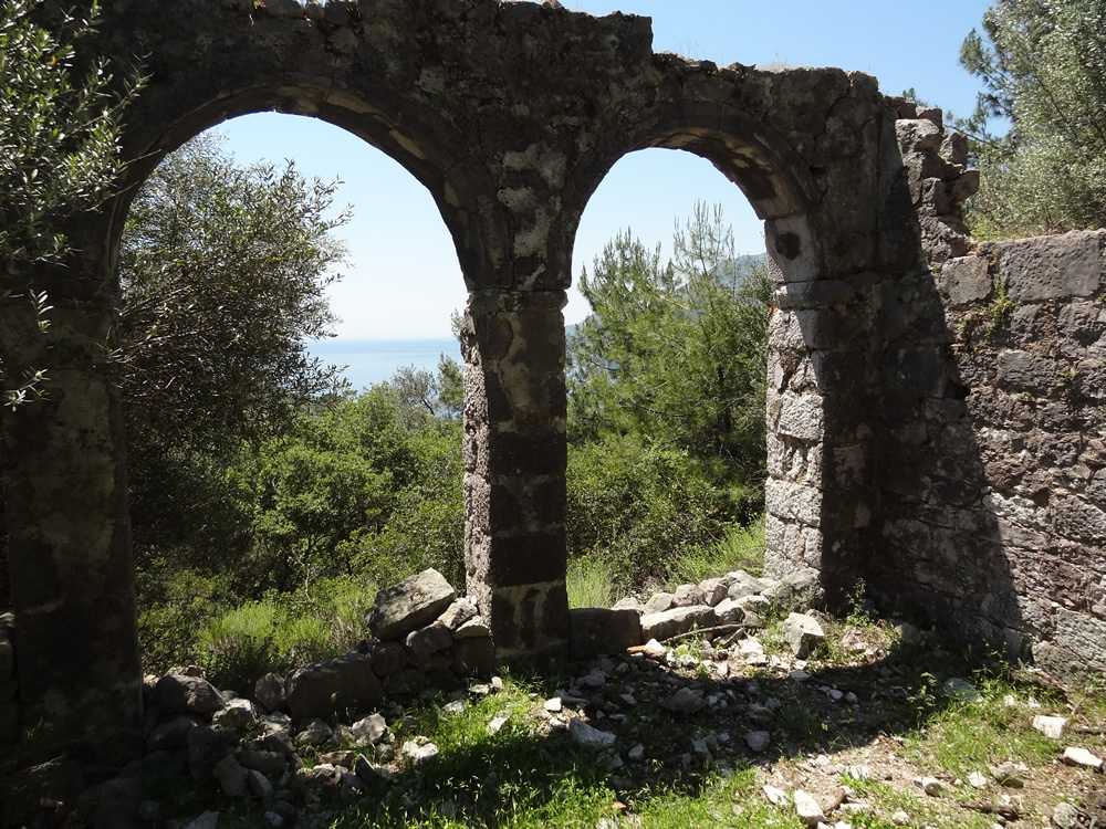
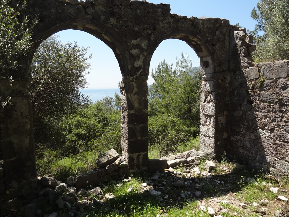
The route then takes a short mountain track to cross over the peninsula where it emerges into an ancient olive grove and the ruins of a Byzantine church with vaulted arches looking out over the turquoise sea.

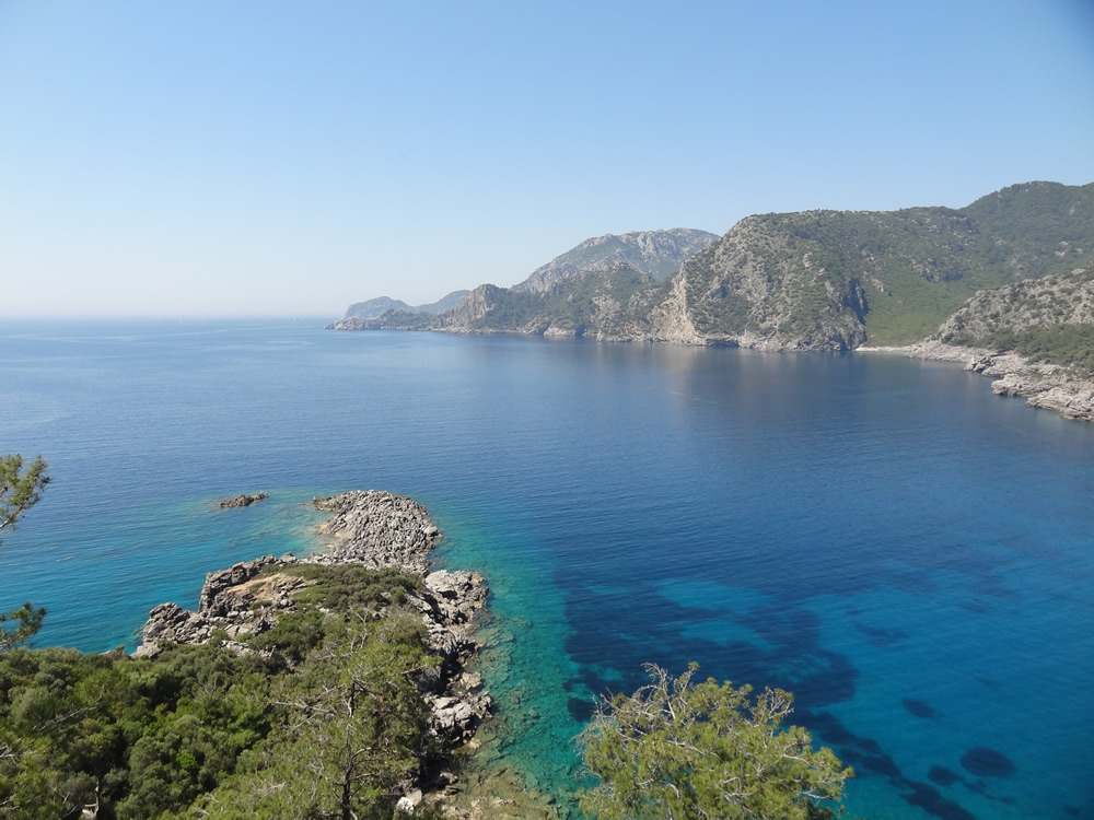
A short, optional excursion takes you to a small secluded beach. Until recent times the olives harvested by local Turunç families from the olive grove were manually carried down to this beach for loading onto small boats for transport back to the village.
Route Image
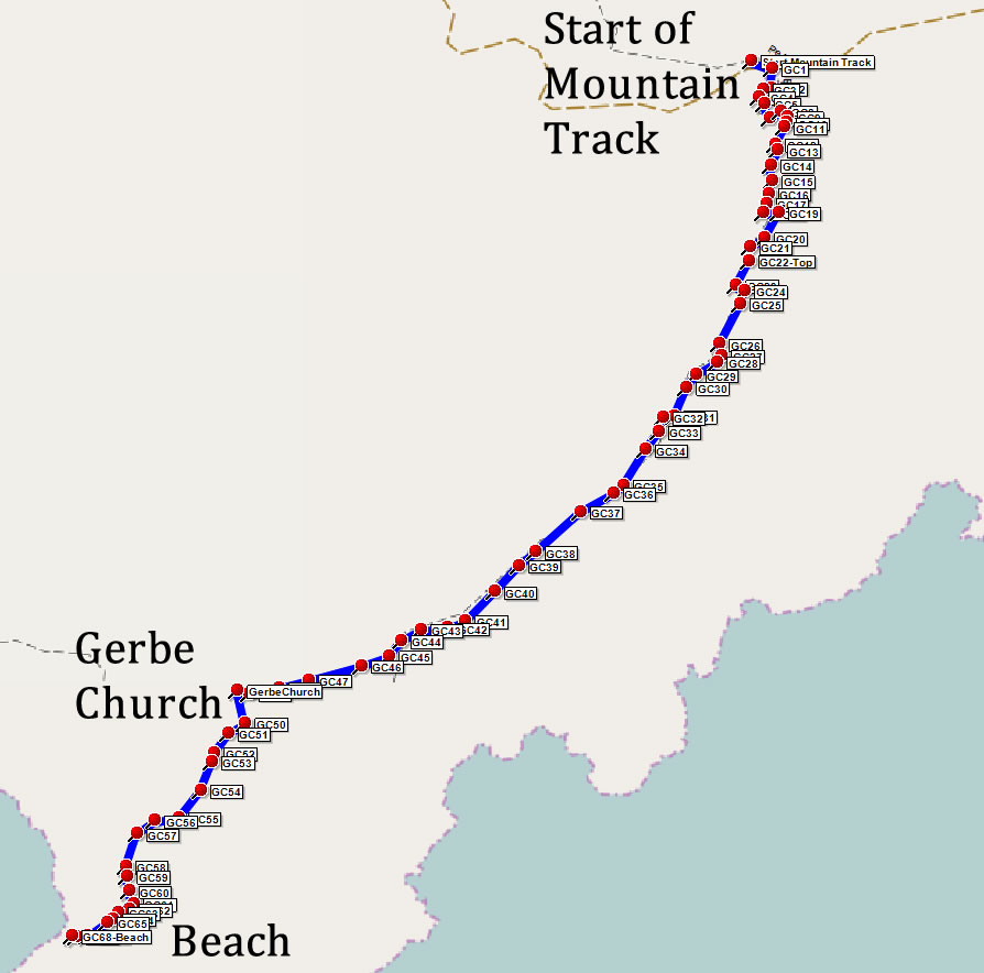
Gerbe Church overview map
Route Image
Gerbe Church

Route Image
Beach near Gerbe Church

View the complete route in Google Maps:

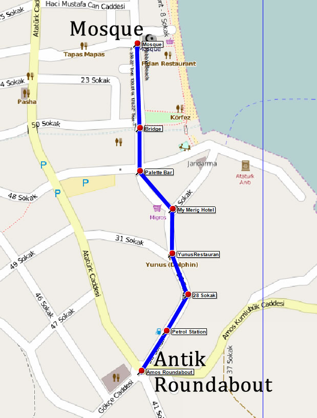
1 - Mosque to Antik Roundabout (0.5 km)

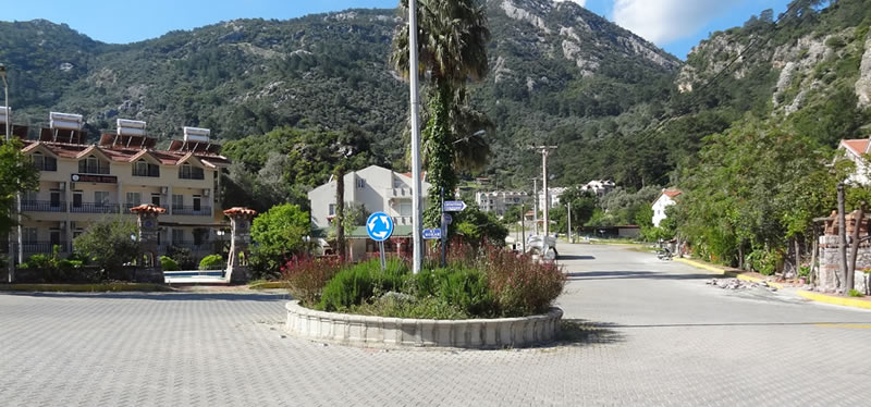
The walk starts at the village Mosque in the middle of Turunç. From here, proceed south along the main street, cross over the canal bridge toward Palette Bar. Follow the road up a gentle hill to MyMeriç Hotel. Here keep right and continue following the road. Another road joins from the right and shortly after you pass the only Turunç petrol station on your right. A little further and you reach a large road junction - Antik Restaurant will be in front of you.

Section Image
Section 1 Map
Section Image
Antik Roundabout

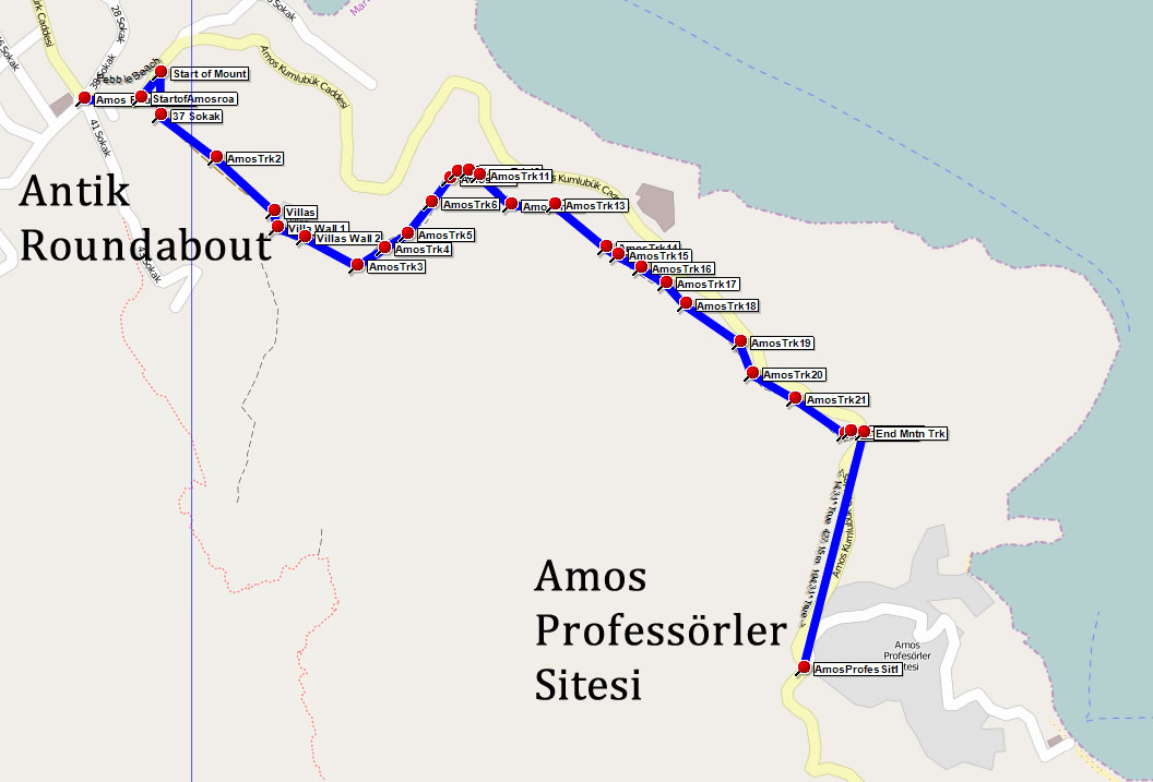
2 - Antik Roundabout to Amos Professörler (2.2 km)

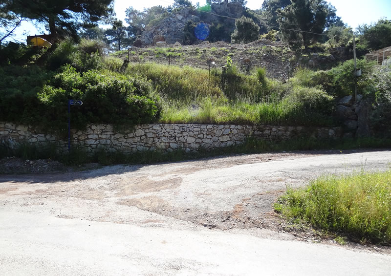
Turn left at the Antik roundabout, following the sign to Amos. As the road starts to climb watch out for the turning on your right that is the start of the mountain track.

If you prefer not to tackle the mountain track then simply continue to follow the road and the mountain track will join you from the right about 200m before the Amos Profesörler Sitesi.

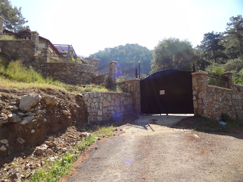
The start of the mountain track leads to the gate of a private villa where the path keeps to the right and follows the wall before becoming a dirt track heading up the mountain.

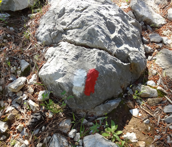
From the villas the track is reasonably easy to follow and is way marked with red and white paint on the rocks. The ascent is straightforward although care is required in a few places. Once on the top the route is easy, with a little caution required where the mountain drops down in places on your left.

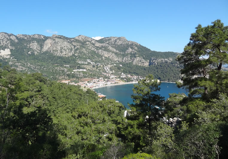
Take a moment to take in the views back to Turunç village ...
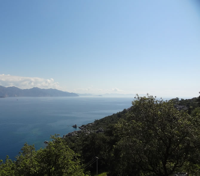
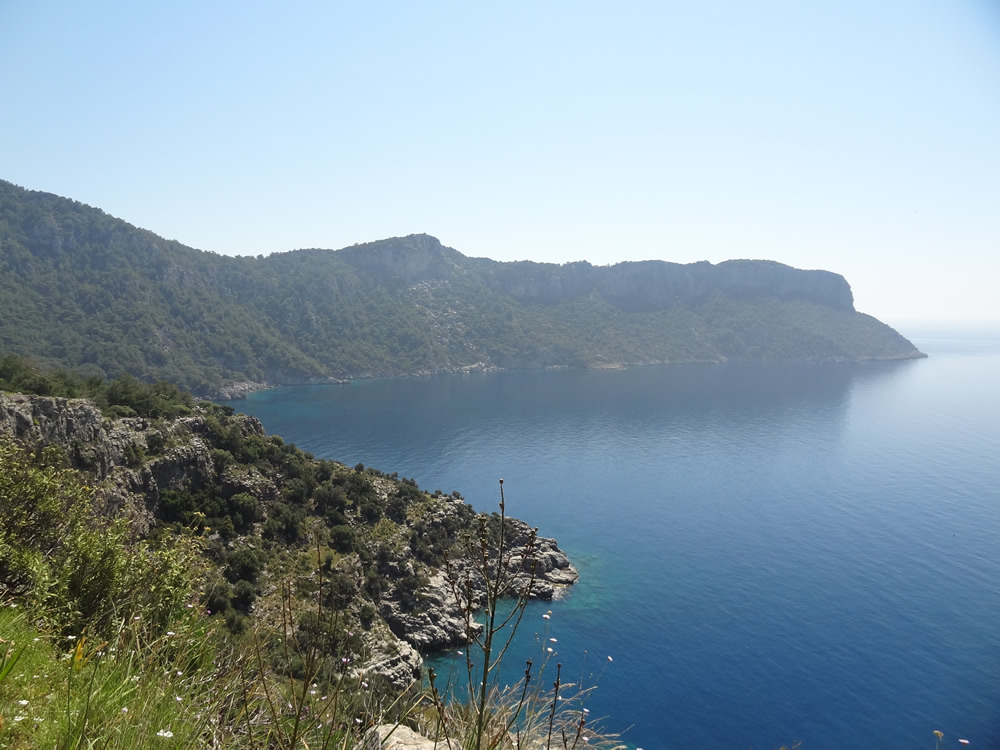
.. and out to the south.

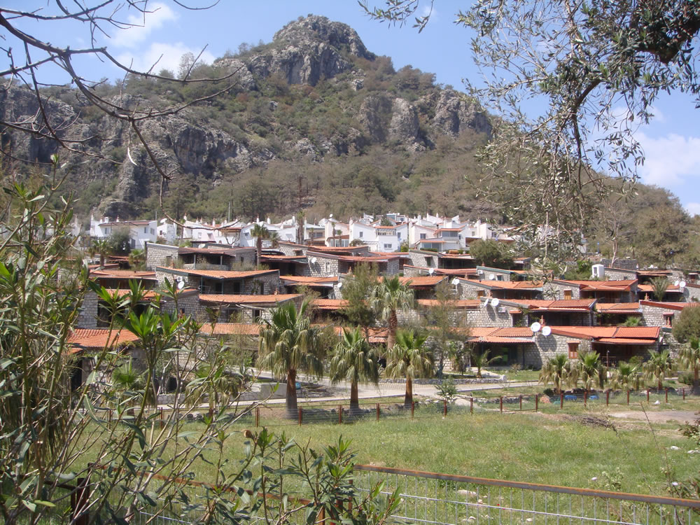
The descent is steep in a few parts and, due to the loose rock, requires caution However the majority is a very pleasant walk. As you approach the road (you will see it on your left) you will follow a fence line on your right and then turn left to join the Turunç to Amos road. On joining the road, turn right. A further 200m or so and, on a bend, you will pass the entrance to the Amos Profesörler Sitesi. Here you will find the famous Amos White Houses, at the top end of the site, and Amos Red Houses lower down. Formerly holiday homes for staff from Marmarar and Anadolu universities, they are now largely privately owned.

Section Image
Section 2 Map
Section Image
Start of mountain track

Section Image
Gate to villas

Section Image
Way marker

Section Image
View back to Turunç Village

Section Image
View to the south

Section Image
Amos Professörler

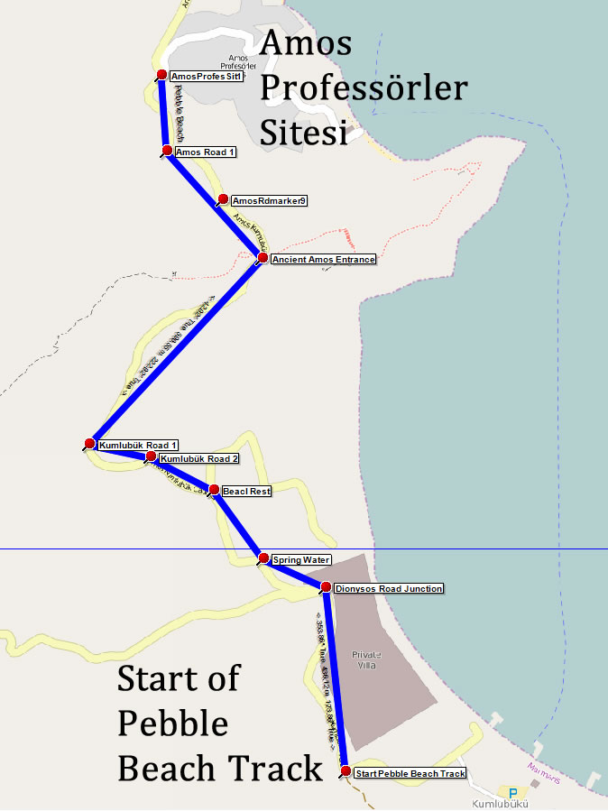
3 - Amos Professörler to Start of Pebble Beach Track (2.2 km)

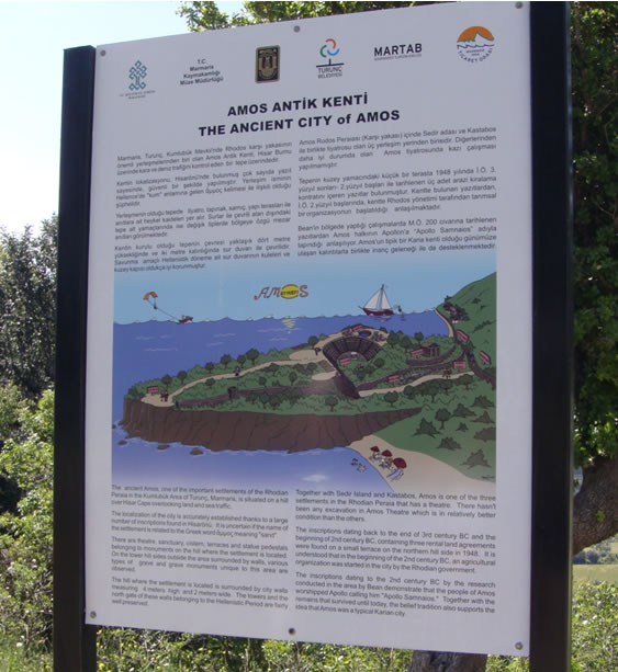
The road continues for around 500m until you reach the ancient city of Amos. There is plenty of interesting scenery, flora and fauna to keep your interest as you approach this fascinating historical site. There is a clear sign showing the entrance to the site.

Continue on the road, passing a dirt road on your left that leads to the beach and restaurants (closed out of season). Shortly after, as the road turns right, there is a spring water tap behind a wall on your left, an ideal spot to fill your water bottle with natural, fresh spring water. As you continue on the road you will see a massive private villa on your left surrounded by high walls and security cameras. This eyesore is a testament to the power of money over the environment and planning laws.

Shortly after passing this villa, the road turns sharply left and in front of you is the broad dirt track along which the route continues.

Section Image
Section 3 Map
Section Image
Entrance to Amos City ruins

Section Image
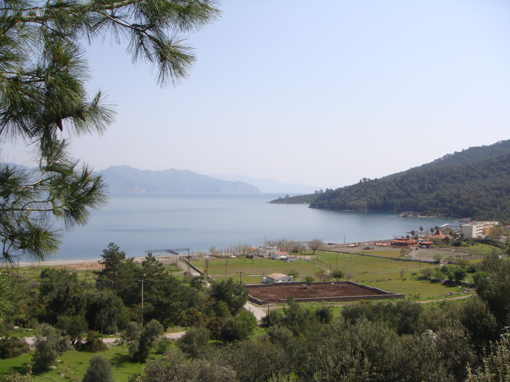
View over Kumlubükü

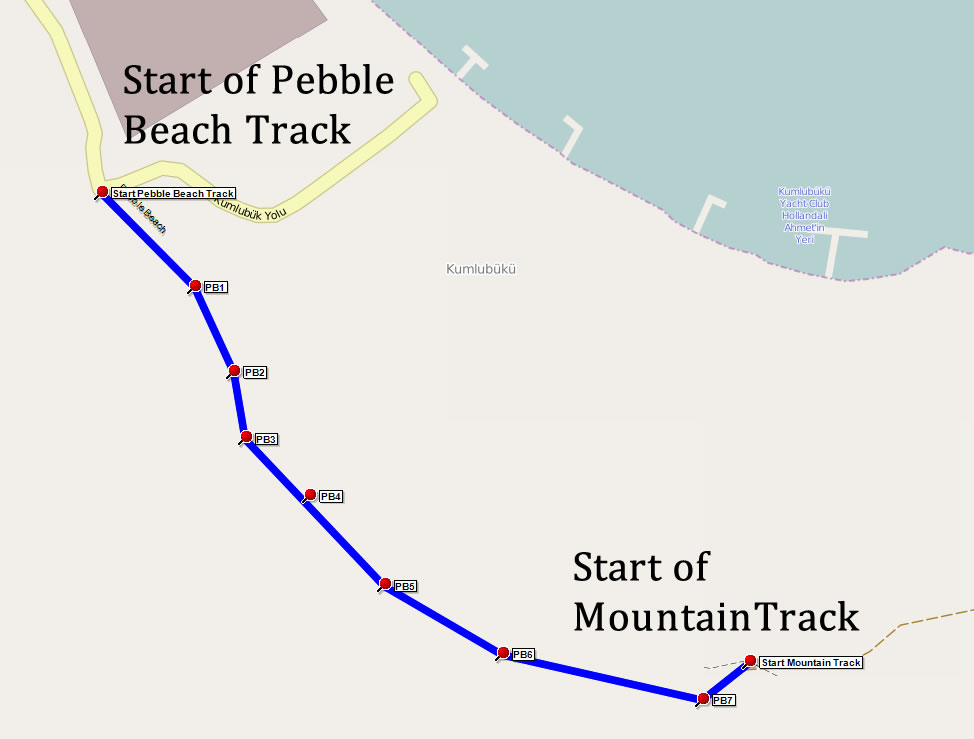
4 - Start of Pebble Beach Track to Start of Mountain Track (0.86 km)

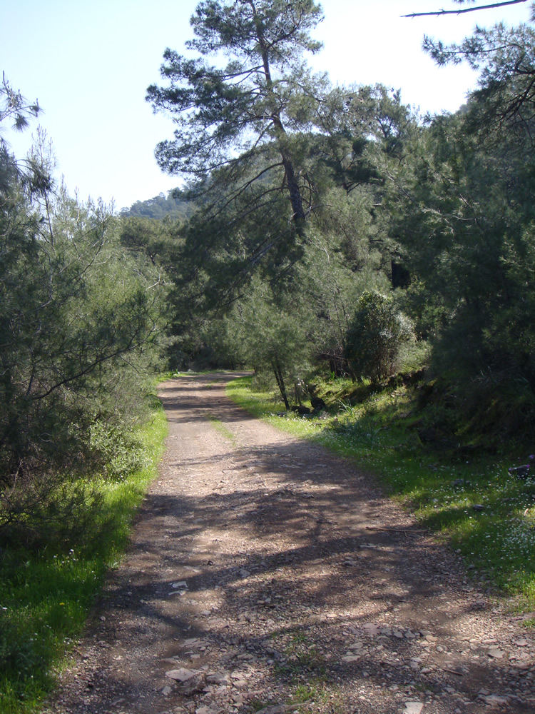
The track is broad, mostly flat and easy to follow.

Passing through open pastures and pine forests, enjoy the flora and fauna. Watch out for blue beehives and an array of insect life and wild flowers.

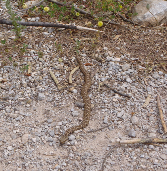
You may also be lucky enough to spot an Ottoman Viper! Usually shy and inoffensive, this viper will hiss loudly and bite readily when cornered so do not get too close. They are venomous so treat with caution.

Section Image
Section 4 Map
Section Image
Forest trail

Section Image
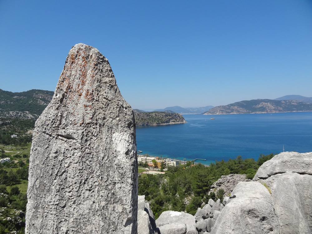
Stone stele

Section Image
Ottoman viper

Section Image
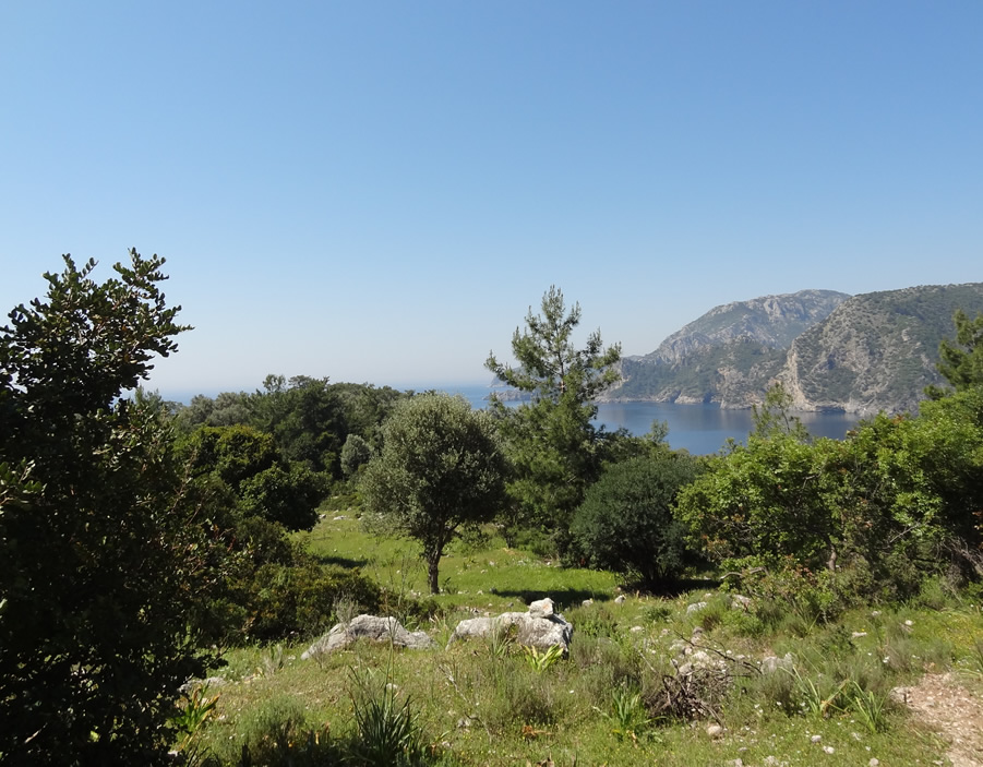
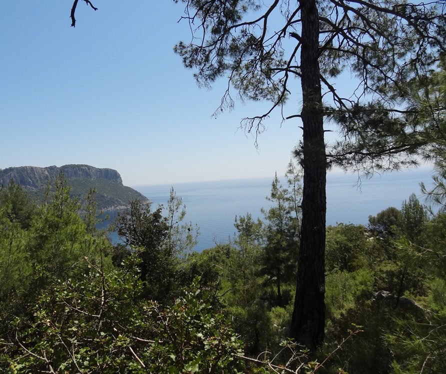
Sea view

5 - Start of Mountain Track to Gerbe Church (1.6 km)

The start of the mountain track is on your right and is not easy to spot as it ascends into the forest. The track rises over the saddle before dropping down through the pines into the olive grove and leads directly to the ruins of Gerbe Kilise (Gerbe Church).

The church is thought to have been part of a small Byzantine trading post called İlipınar and still has four vaulted arches acting as windows over the olive grove and sea views.

This is a great spot for a picnic lunch or drop down into the olives for a quiet break.

A short, optional excursion takes you to a small secluded beach. Until recent times the olives harvested by local Turunç families from these olive trees were manually carried down to this beach for loading onto small boats for transport back to the village.

This tranquil bay is a perfect place for a cooling swim in the perfectly clear turquoise water before starting the return journey.

The return journey retraces the outbound route.

Section Image
Section 5 Map
Section Image
Olive Grove

Section Image
Approaching climb down to beach

Section Image
Gerbe Church

Section Image
View towards the sea

Section Image
View down to beach

Feedback on Route 7 - Gerbe Church

No feedback has yet been received for this route. Please complete the feedback form to rate this route in terms of how much you enjoyed it.

You can help other walkers by telling them about the highlights, what you enjoyed most, and things to look out for.

Also, when you provide a rating you are helping others choose the most suitable walks.

Please provide us with your feedback/comments on this route so that other people can benefit from your experience. Your name and email address are optional. Your email address will never be displayed, but will allow us to respond if required. Your name, if provided, will be displayed along with your feedback. You can use your real name, initials, or a fictitious name.


1 2 3 4 5


CAPTCHA Image   Reload Image
Enter Code*:

quail-piping