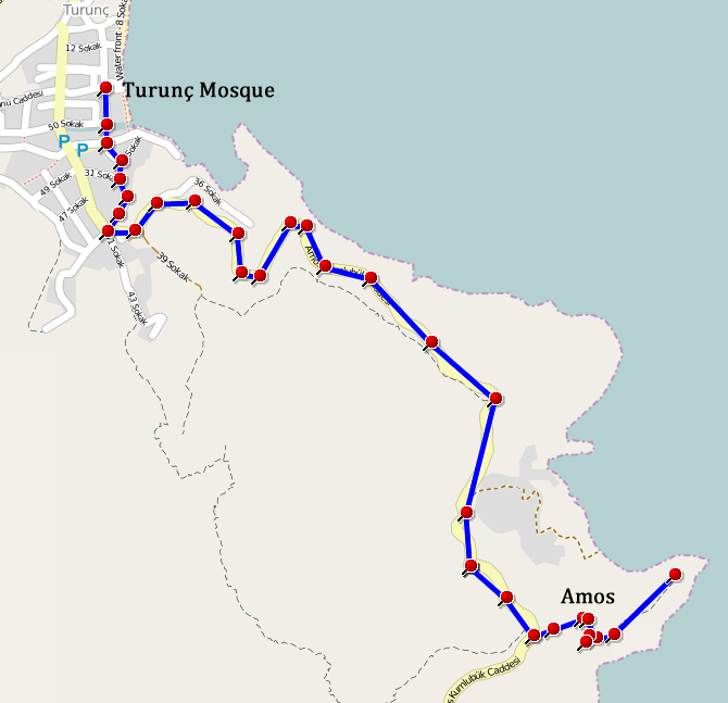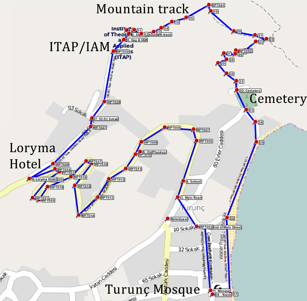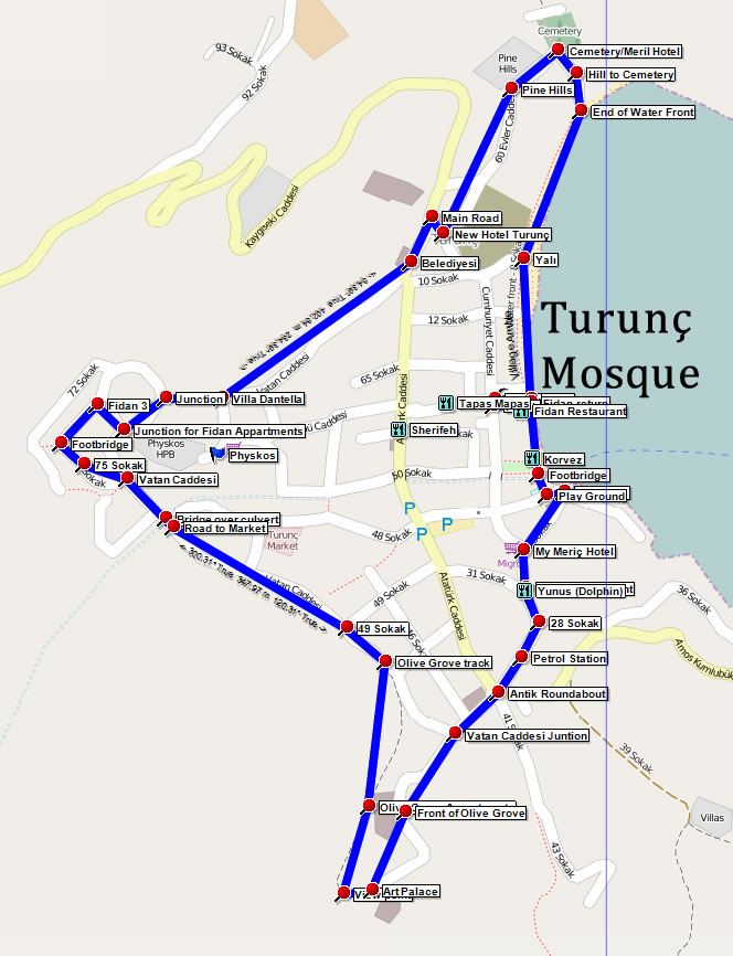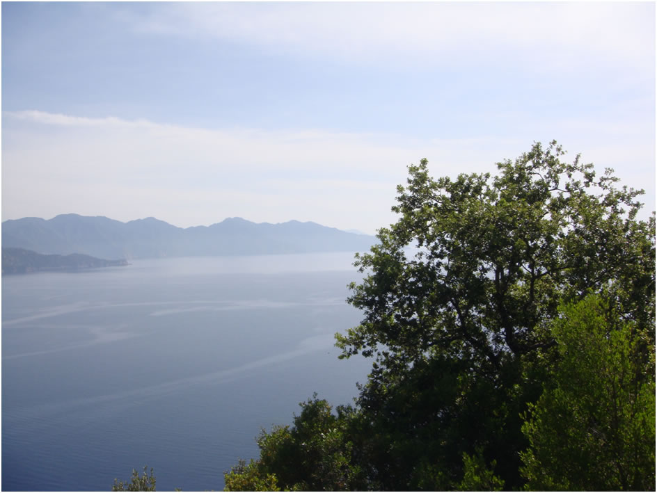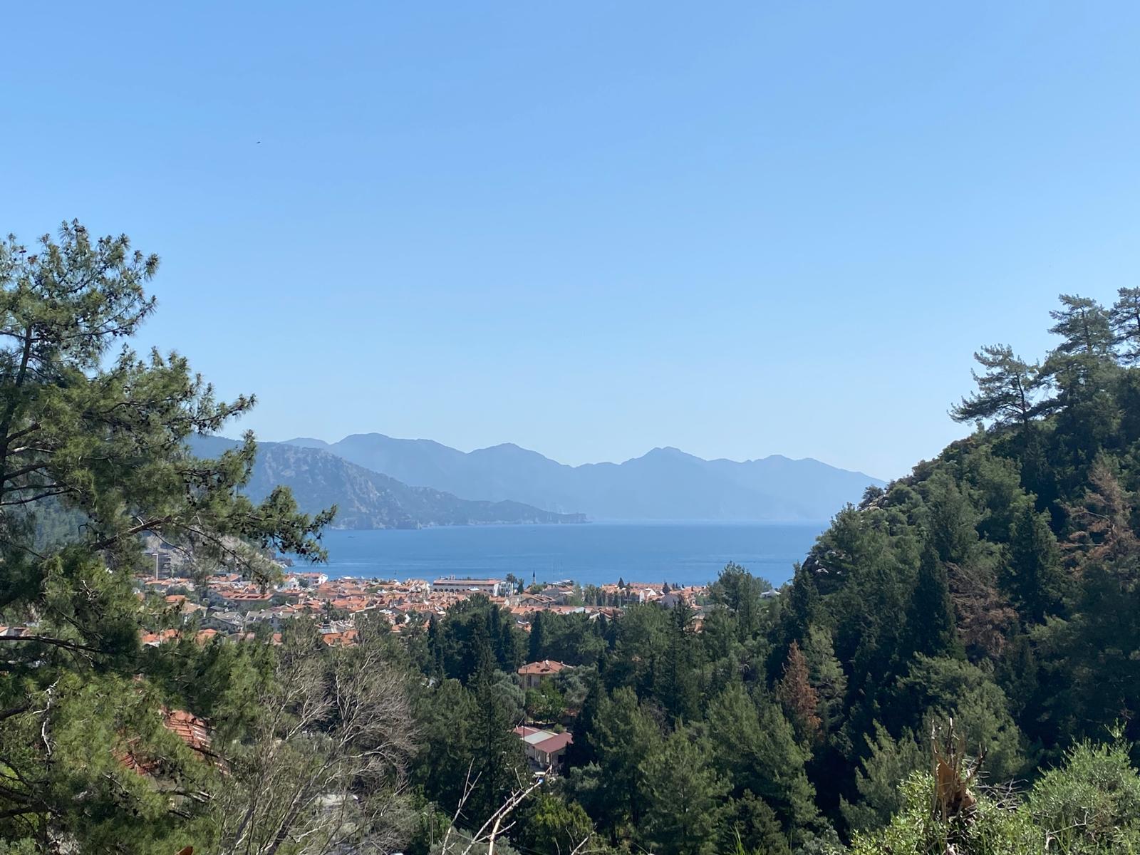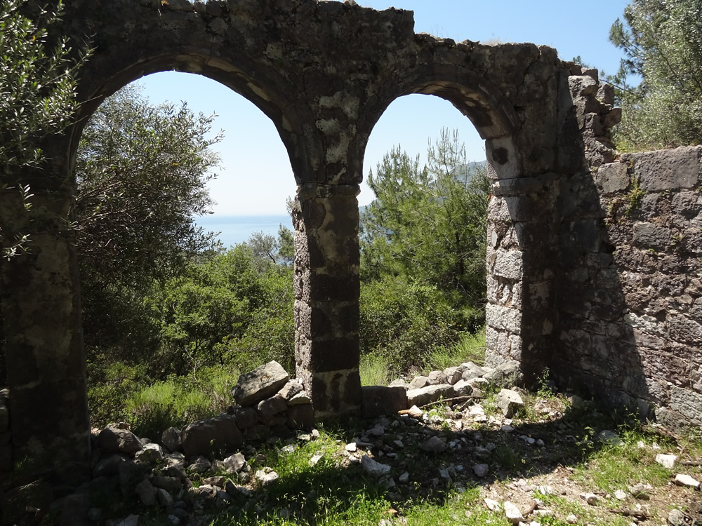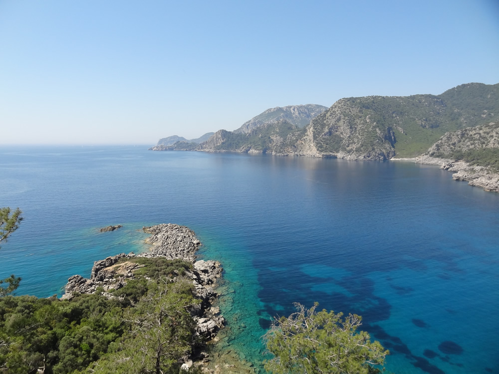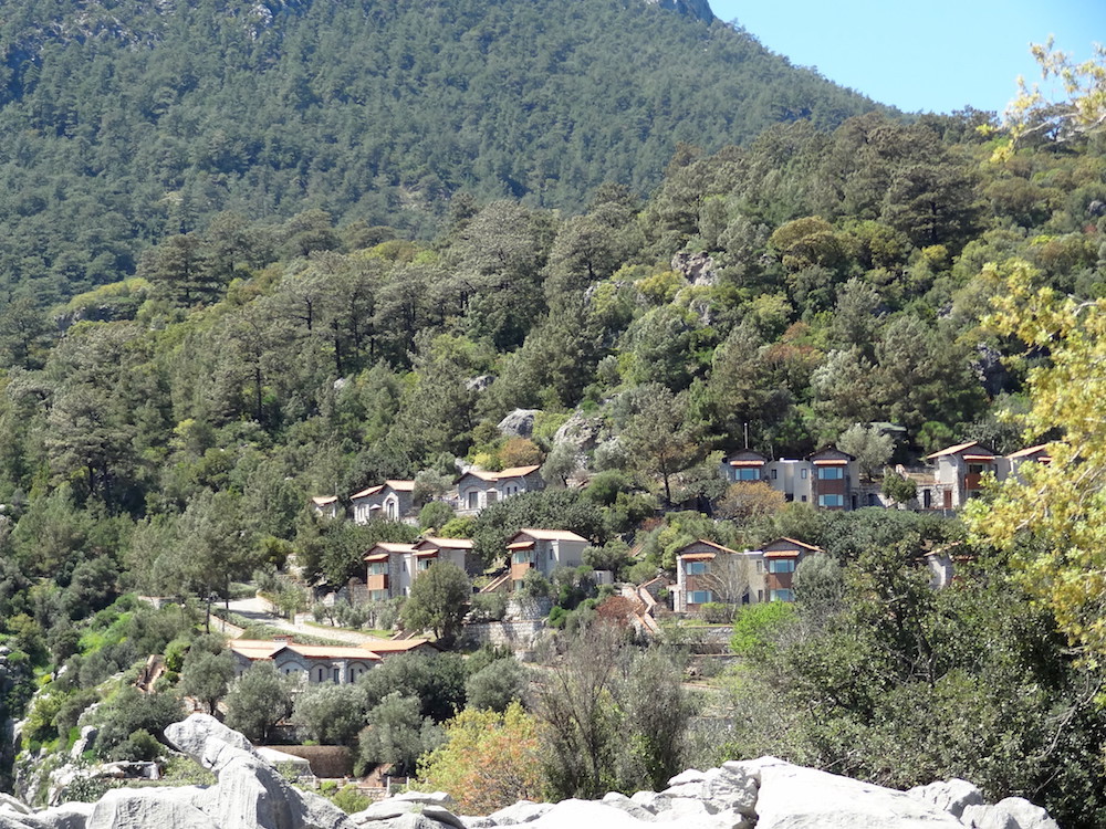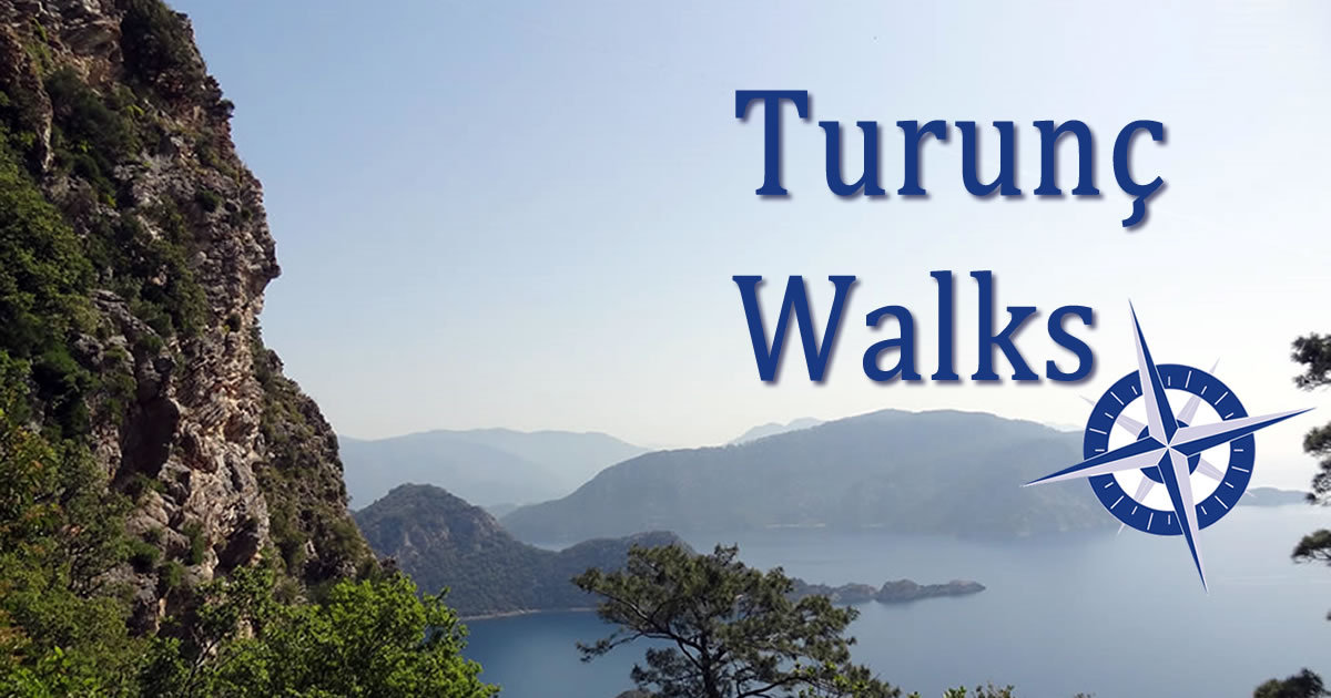
Welcome to Turunç Walks
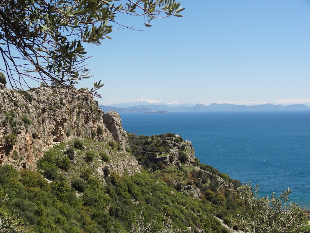
Turunç is a superb place to walk but visitors face two problems - lack of good quality, detailed maps and lack of documented walks. This site aims to address both of these problems and is completely FREE to use.
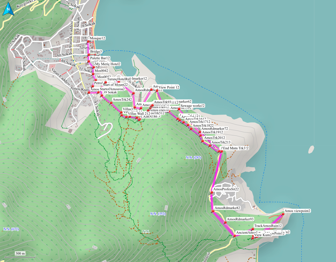
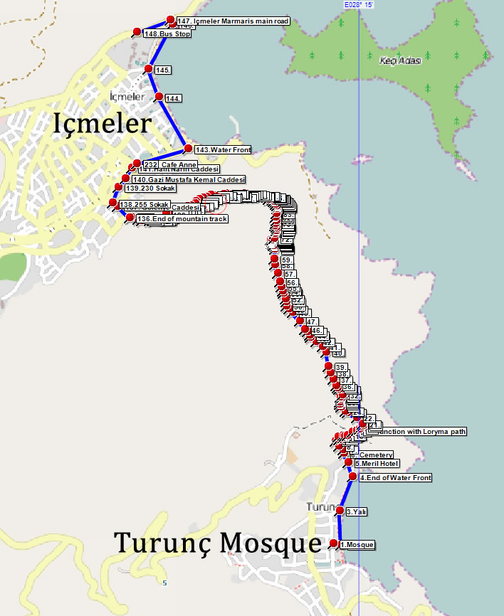
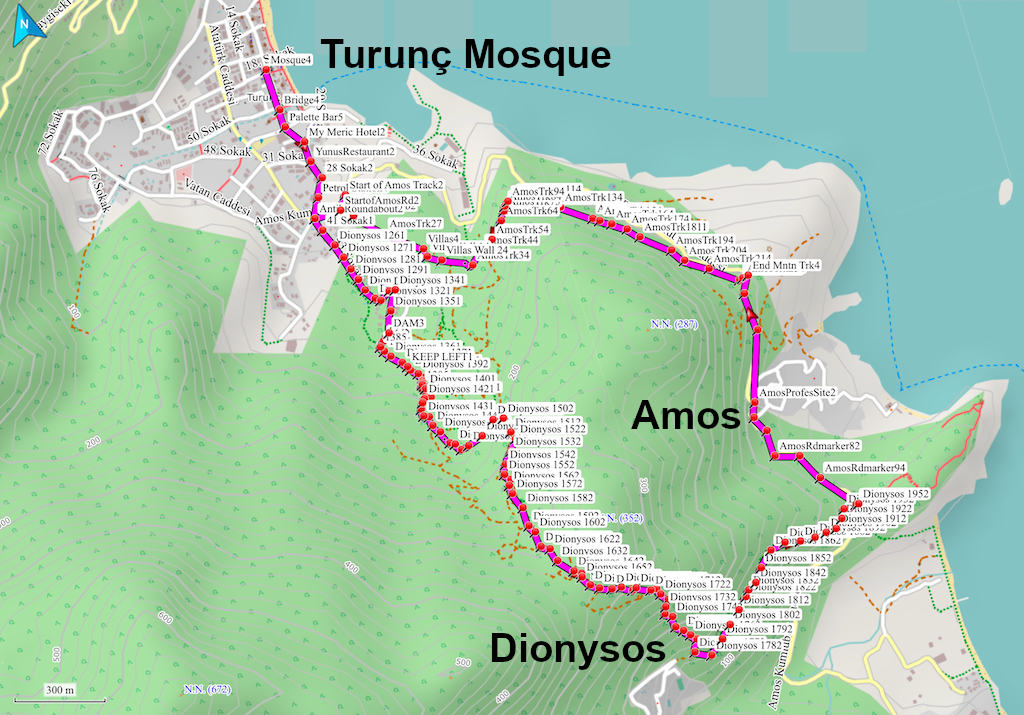
- We use OpenStreetMap as a source of high quality detailed maps.
- Walks are documented and recorded using accurate GPS devices.
- Walks can be previewed online, downloaded as PDF documents, and downloaded in GPX and KML formats for use on smart phones or with Google Earth.
- Our downloads are compatible with many smart phone apps, many of which are free to download.
- All of our walks are available to take with you on our FREE iPhone and Android App TWalks (just search for TWalks on the App Store or Google Play Store).
Contribute
If you know of any walks in the Turunç area, please share them with us.A rough description is all that is needed. We will map all suitable walks and create the necessary GPS files and downloads. We would also welcome feedback on our walks and web site.
Suggest a route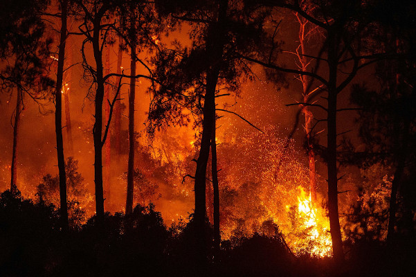
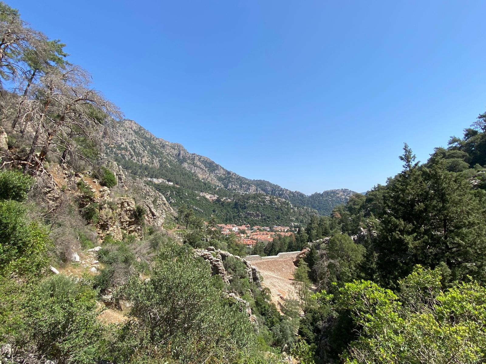
Forest Fires 2021
Some of our walks were damaged by the forest fires in 2021 and subsequent logging and dam building work. High fire risk also led to a temporary ban on walking in the forests meaning some paths have become a little overgrown.
Waymarkers are now being re-painted, and obstacles removed, so hopefully all routes will be back to normal in the not too distant future. For now, please stay safe and do NOT take any risks.
Where necessary our walks have now been fully rewritten to take account of these changes.
 Total route downloads